What is Earth Observation useful for?
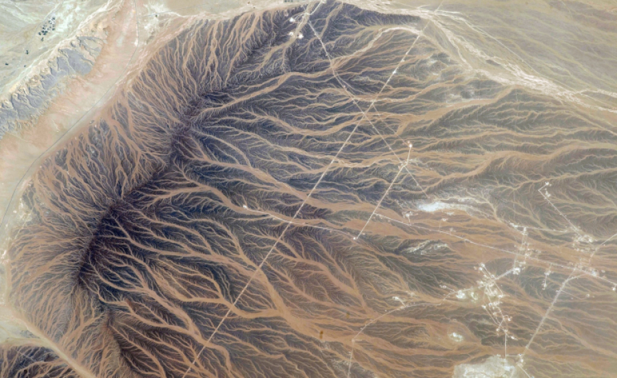
Satellite imagery (commonly referred to simply as pictures or photos) allows you to cover large areas of the Earth with your camera. In this way, it is possible to gain a lot of useful information needed for advanced research or analysis. The technology also makes it possible to control selected areas to monitor the changes taking place in them.
Satellite images used for Earth Observation have many applications:
- meteorology,
- oceanography,
- fisheries,
- agriculture,
- biodiversity conservation,
- forestry,
- landscape management,
- geology,
- cartography,
- regional planning,
- military,
- education,
- entertainment (e.g., movies, video games).
Why is Earth Observation so important?
Earth Observation is being widely used in many sectors to improve the quality of everyday life in diverse ways. Satellite data is playing an increasingly important role in the development of key areas of economic and social life. With VHR images, it is not only possible to forecast the weather more accurately, but also to predict and monitor sudden atmospheric occurrences, natural disasters, or other hazards.
Scientists have been sounding the alarm for years about the drastically deteriorating state of the environment. Earth Observation helps to collect a lot of valuable data that allows us to detect and control dangerous developments so they can be prevented and counteracted. Based on such images, it is possible to accurately study land, water reservoirs, atmospheric phenomena, air pollution, etc.
Earth observation data is also used by many companies. With them, they can choose the best land for building production halls, real estate, etc. The situation is similar in the agricultural sector – in this way it is possible to find an optimal location for cultivating plants/animal breeding. Therefore, entrepreneurs and farmers are operating sustainably, minimizing the negative impact on the environment.
How can we get Earth Observation data?
Earth Observation Data (VHR images) are obtained from special companies that specialize in providing such input. They generally cooperate with satellite technology providers, while also giving access to cloud services. In this way, one acquires not only Earth imaging but also the environment, resources, and tools needed to store and process it.
One of the best organizations of this type is CloudFerro, acquiring satellite imagery from Airbus, CG Satellite, KG Space Technology, and SI IMAGING SERVICES. It guarantees comprehensive technical support and data storage for Earth Observation. When establishing cooperation with such an establishment, you are given everything you need for your business or research.